Search This Blog

Monday, July 25, 2016

Museum Siam

@Museum Siam 24/7/2016

     The exhibition was based on Myanmar and featured many interesting facts about Myanmar life & culture that most Thai people wouldn't have previously known. The purpose of us visiting this exhibition wasn't because we were studying about Myanmar, but because we wanted to see how they presented their exhibition. Later on we will have to setup our own exhibition, so we needed to gather as much information as we can before hand.

Guesthouse - type of exhibition

     A short & simple exhibition that has little gimmicks to turn it into an elegant work of art.

Tuesday, May 17, 2016

Mountain Formation


     Mountains are all basically formed by plate tectonics pushing against one another creating a large upward jutting formation, but the process behind them are different depending on type. There are 3 types of mountain formations;

  1. Volcanic
  2. Fold
  3. Block
Volcanic

     Shifting tectonic plates create volcanoes which in turn  erupt to create mountains. Different types of volcanoes will create different looking mountains. Stratovolcanoes create a cone-like shaped mountain, while shield volcanoes create a gently upward sloping mountain.


Fold

     When tectonic plates collide or undergo subduction, they bend and fold. This folding creates mountains at the point of collision.


Block

     A block mountain is created by the shifting of a fault block. The block may shift up or down depending on the circumstances leading to the shift.


Monday, May 16, 2016

Isostasy

Isostasy (Greek ísos "equal", stásis "standstill") is the state of gravitational equilibrium between Earth's crust and mantle such that the crust "floats" at an elevation that depends on its thickness and density of underlying roots of the low density of the mountain.
 (https://upload.wikimedia.org/wikipedia/commons/f/fa/Airy_Isostasy.jpg)
This concept is invoked to explain how different topographic heights can exist at Earth's surface. When a certain area of Earth's crust reaches the state of isostasy, it is said to be in isostatic equilibrium. Isostasy does not upset equilibrium but instead restores it (a negative feedback). It is generally accepted [1] that Earth is a dynamic system that responds to loads in many different ways. However, isostasy provides an important 'view' of the processes that are happening in areas that are experiencing vertical movement. Certain areas (such as the Himalayas) are not in isostatic equilibrium, which has forced researchers to identify other reasons to explain their topographic heights (in the case of the Himalayas, which are still rising, by proposing that their elevation is being "propped-up" by the force of the impacting Indian plate; the Basin and Range Province of the Western US is another example of a region not in isostatic equilibrium.)
Although originally defined in terms of continental crust and mantle, it has subsequently been interpreted in terms of lithosphere and asthenosphere, particularly with respect to oceanic island volcanoes such as the Hawaiian Islands.
In the simplest example, isostasy is the principle of buoyancy wherein an object immersed in a fluid is buoyed with a force equal to the weight of the displaced fluid. On a geological scale, isostasy can be observed where Earth's strong crust or lithosphere exerts stress on the weaker mantle or asthenosphere, which, over geological time, flows laterally such that the load is accommodated by height adjustments.

The general term 'isostasy' was coined in the year 1889 by the American geologist Clarence Dutton.
(https://en.wikipedia.org/wiki/Isostasy)

     The above quote is the more advanced and in-depth description of what Isostasy is. For the lay-man version, refer to my summary below;

     The Earth's crust is an ever-changing body of rock. The reason for this is from Sediments. Sediments will constantly create more layers on top of the old layers. This process affects the crust's elevation, creating unique topography throughout the world. The process itself is also known as Isostasy, But, it is interesting to note that not all geographical mountains are created this way. The Himalayas, for example, are not affected by Isostasy. They are created by two continental plates pushing against one another.


Sunday, May 15, 2016

Sima

In geologysima is the name for the lower layer of the Earth's crust. This layer is made of rocks rich in magnesium silicate minerals. Typically when the sima comes to the surface it is basalt, so sometimes this layer is called the 'basalt layer' of the crust. The sima layer is also called the 'basal crust' or 'basal layer' because it is the lowest layer of the crust. Because the ocean floors are mainly sima, it is also sometimes called the 'oceanic crust'.
The name 'sima' was taken from the first two letters of silica and of magnesium. Comparable is the name 'sial' which is the name for the upper layer of the Earth's continental crust.
(https://en.wikipedia.org/wiki/Sima_(geology))

Properties

  • Density: 2800-3300 kg/m(higher than Sial)
     Sima is more dense than Sial because it has higher concentrations of iron and magnesium, while having a decreased concentration of aluminum. When Sima gets pushed up to the surface it forms Mafic rocks. The more denser Sima, that has less Silica, forms Ultramafic rocks


Sial

     What is Sial? Sial in Geology, refers to the upper layer of the Earth's crust with rocks rich in silicates and aluminum minerals. Sial is usually associated with Continental Crusts because they can't be found in Oceanic Crusts, but the word Sial is a Geochemical term rather than a tectonic term.

     Rocks found in the Sial layer are called Felsic, because they contain high levels of Feldspar, which is an aluminum silicate mineral series. But, on the other hand, Sial can also contain a large mixture of different minerals, including Basaltic rocks.

(https://upload.wikimedia.org/wikipedia/commons/thumb/b/b1/Eduard_Suess_1869.jpg/800px-Eduard_Suess_1869.jpg)

     Sial is the contrast of Sima, the next lower layer, These names were proposed by Eduard Suess during the 19th century. It was later proven by modern scientific methods that his model of the outer layers of Earth were correct.

Properties

  • Density: 2700-2800 kg/m3 (lower than Sima)
  • Depth: 5-70 km

The Geological Nature of Earth

The Earth's Crust


(http://easyscienceforkids.com/wp-content/uploads/2014/03/Science-for-Kids-Website-All-about-Earths-Crust-Layers-of-the-Earth-image.jpg)

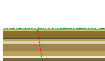
     The crust is the outermost shell of Earth. It is the thinnest layer and contains more incompatible materials than all the other mantles. The crust is formed through various igneous processes that remain similar for other planets as well.

     Earth's crust consists of a variety of igneous, metamorphic, and sedimentary rocks. The boundary that separates the crust and mantle is called the  Mohorovičić discontinuity. This boundary is determined by seismic velocity and mostly contains Peridotite which is denser than the rocks normally found in the crust. It is also worth noting that Earth's crust makes up less than 1% of Earth's volume.

  • Oceanic Crust: 5-10 km thick, Basalt, Diabase, Gabbro
  • Continental Crust: 30-50 km thick, Granite and other less dense rocks  

     Both of these types of crusts float on the mantle. The Continental Crust has a slightly lower density than the Oceanic Crust giving it a higher relative elevation. This means that water will flow off of Continental Crusts and collect in Oceanic Crusts.

The Mantle

     The mantle is the layer between the core and the crust. It makes up about 84% of Earth's volume. The mantle is a silicate rocky shell that has an average thickness of approximately 2886 km. It is essentially a solid, but in geological time the mantle behaves like a viscous fluid. Dunite is very commonly found in the mantle, but can't be found in the crust, with the exception of a volcano eruption. Dunite will be found mixed with the lava.

The Core of it All

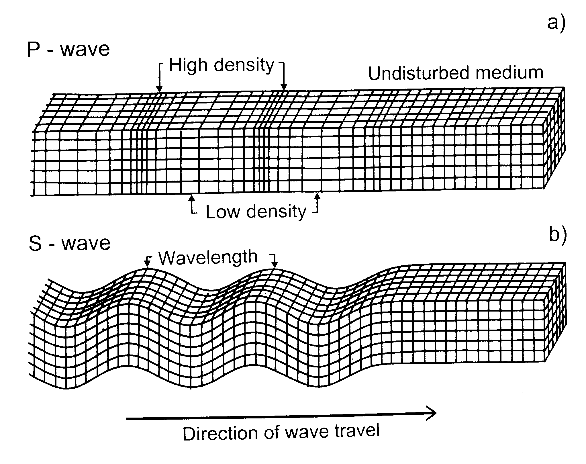
     The Earth's core is divided into two main parts. The inner core and outer core. The inner core is solid and has a radius of about 1220 km. The outer core is liquid and has a radius of 3400 km. The inner core was discovered by Inge Lehmann in the year 1936. Generally, the primary composition of the inner core is believed to be iron and nickel. The core isn't exactly a solid, but it does retain some essence of being a solid since it can deflect seismic waves. A lot isn't yet understood regarding the Earth's core, since the only evidence we have is seismic wave frequencies. 


Seismology

     Seismometers are instruments that measure the movement of the ground. Most commonly associated with earthquakes, Scientists also use this instrument to determine the nature of Earth's inner core.


P Waves

P-waves are a type of body wave, called seismic waves in seismology, that travel through a continuum and are the first waves from an earthquake to arrive at a seismograph. The continuum is made up of gases (as sound waves), liquids, or solids, including the Earth. P-waves can be produced by earthquakes and recorded by seismographs. The name P-wave can stand for either pressure wave as it is formed from alternating compressions and rarefactions or primary wave, as it has the highest velocity and is therefore the first wave to be recorded.[1]
In isotropic and homogeneous solids, the mode of propagation of a P-wave is always longitudinal; thus, the particles in the solid vibrate along the axis of propagation (the direction of motion) of the wave energy.
(https://en.wikipedia.org/wiki/P-wave)

     P waves help determine the make of the inner core because they travel faster when traveling through denser material. This can be calculated by the the following equation known as Birch's Law.

Geologist Francis Birch discovered a relationship between the velocity of P waves and the density of the material the waves are traveling in:
 V_p = a (\bar{ M}) + b \rho
(https://en.wikipedia.org/wiki/P-wave)

(http://www.astro.uwo.ca/~jlandstr/planets/webfigs/earth/images/waves.gif)

S Waves

S-wavessecondary waves, or shear waves (sometimes called an elastic S-wave) are a type of elastic wave, and are one of the two main types of elastic body waves, so named because they move through the body of an object, unlike surface waves.
The S-wave moves as a shear or transverse wave, so motion is perpendicular to the direction of wave propagation. The wave moves through elastic media, and the main restoring force comes from shear effects. These waves do not diverge, and they obey the continuity equation for incompressible media:
\nabla \cdot \mathbf{u} = 0
The shadow zone of aP-wave. S-waves don't penetrate the outer core, so they're shadowed everywhere more than 104° away from the epicenter (from USGS)
Its name, S for secondary, comes from the fact that it is the second direct arrival on an earthquake seismogram, after the compressional primary wave, or P-wave, because S-waves travel slower in rock. Unlike the P-wave, the S-wave cannot travel through the molten outer core of the Earth, and this causes a shadow zone for S-waves opposite to where they originate. They can still appear in the solid inner core: when a P-wave strikes the boundary of molten and solid cores, S-waves will then propagate in the solid medium. And when the S-waves hit the boundary again they will in turn create P-waves. This property allows seismologists to determine the nature of the inner core.
(https://en.wikipedia.org/wiki/S-wave)

     There is a blind spot where P waves can't penetrate to which is the Earth's core. S waves also can't reach the core because they can't get past the molten outer core, but P waves can reach the boundary of the solid inner core, turn into S waves, and come back out again as P waves. Based on the speed/time it took for these waves to reach the other end, Scientists are able to determine the type of material that makes up the Earth's core.